Navigating the Wild: A Jim Corbett Map Guide for Laksar Travelers
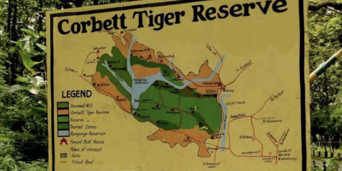
If you are looking at a digital map of Jim Corbett National Park from your home or office in Laksar, the layout can look expansive. You might find yourself asking: "Why are there so many different gates?" or "Is my hotel actually close to where the tigers are?"
Don't let the lines on a screen frustrate you. At Corbett Step, we observe that for a guest traveling all the way from Laksar, understanding the terrain is the secret to a organized holiday.
Here is a simplified tour of the jungle map, specifically curated for you.
The Zero Point: Ramnagar Town
Think of Ramnagar as your Zero Point. When you arrive from Laksar—whether you step off a train or park your car—this is where your journey truly begins.
- The Lifeline: The Kosi River runs parallel to the town. On the map, you’ll notice that most premium resorts are clustered along this riverbed.
- The Junction: The main Forest Office (where permits are sometimes checked) and the local markets are located here.
- The Distance Fact: Every safari gate is measured by its distance from this central town.
Understanding the Zones on the Map
To protect the wildlife and manage the flow of people, the government has mapped the map into specific tourism zones. You cannot simply enter the park from any point; you must arrive at the specific gate mentioned on your permit.
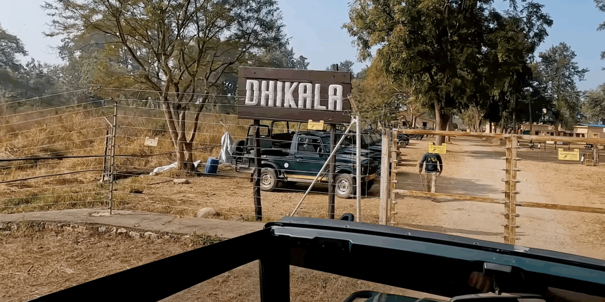
- The Center Zone (Dhikala): If you look at the center of the map, that is Dhikala. However, the entry (Dhangarhi Gate) is 19km from Ramnagar. Once you cross the gate, you drive another 30km into the deep forest to reach the lodge.
- The Busy Zone (Bijrani): This is the closest core zone to the town. The entry gate (Amdanda) is just 2km from the town center.
- The Southern Hub (Jhirna/Dhela): Located towards the southern edge of the map, these zones share the same entry road and are roughly 15-20km from the town.
- The Peaceful Area (Sitabani): This area wraps around the main park. It isn't part of the "Core" map, but it offers a beautiful, less crowded forest experience.
Why You Need a Native Tracker
Coming from Laksar, you might be tempted to rely on GPS. But in the jungle, the map is not the territory.
- Signal Blackouts: Google Maps often stalls near the thick forest canopies because there is minimum bars.
- Hidden Obstacles: The path to zones like Phato or Jhirna involves crossing nullahs which are never updated on standard digital maps.
- The Clock is Ticking: Being lagging by even 10 minutes can mean the forest guards will refuse entry, and your hard-earned permit will be voided.
This is why Corbett Step provides vetted drivers who know every turn of the map like the specialists.
Finding Your Resort on the Map
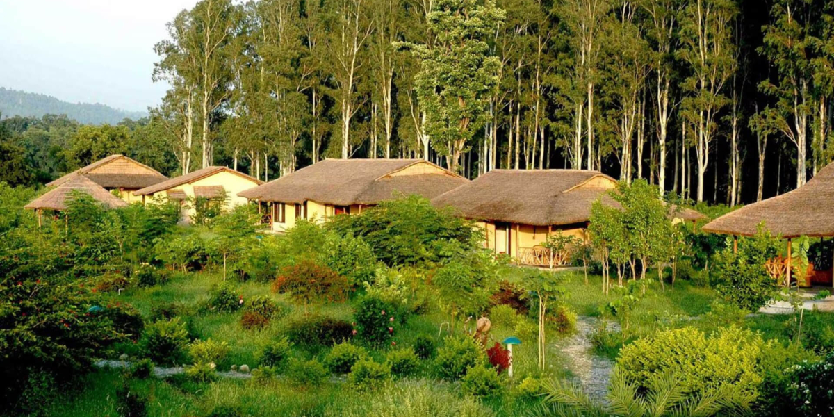
When we help you choose a stay from Laksar, we look at the map to find the best "cluster" for your safari:
- Dhikuli Area: Perfect for Bijrani and Dhikala gates. Great river views.
- Dhela/Sawaldeh: Ideal if your safari is in Jhirna or Dhela zones.
- Mohan/Marchula: The best choice for those heading to Durga Devi or the Dhangarhi gate.
Important Tips for Laksar Guests
- Offline is Better: Before you depart Laksar, download the offline map of Ramnagar and the surrounding forest.
- Trust the Tracker: If the app says "20 minutes" but our driver says "40 minutes," trust the driver. The forest has its own speed limits.
- Gate Check: Always double-verify the Gate Name on your permit. Driving to the wrong gate on the map is the most common reason for a missed safari!
Step into the Wild
Don't let a confusing map ruin your adventure from Laksar. At Corbett Step, we ensure you reach the right gate, at the right time, every single time.
📍 Website: corbettstep.com